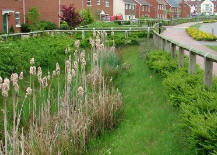
Surface water storage volume estimation
The surface water storage volume design tool estimates the total surface water storage volume you are likely to need across your whole site with a fixed limiting discharge rate.
March 2025 updates - what has changed
The Surface water storage volume estimation tool was updated in March 2025. Check our frequently asked questions so you can understand what has changed.
Background
The surface water storage volume design tool facilitates easy calculation of total site surface water storage volumes to assist developers, drainage engineers and those assessing planning applications, particularly at conceptual/outline planning stage. The tool uses a simple hydrological and hydraulic model to determine the total storage required on a site based on rainfall runoff from the site and an allowable discharge rate for surface water from the site.
This tool replaced the previous uksuds relationship-based tool in March 2025.
When to use this tool?
Development sites will need to provide surface water storage in order to meet allowable discharge rate criteria required to secure planning approval. The tool can be used at outline/conceptual design stages to estimate the total storage volume required on the site which can then be distributed across the site to maximise Interception, amenity, biodiversity and water quality benefits.
How to use the tool?
The surface water storage volume design tool is a simple online tool. The user simply needs to enter a postcode or click on an interactive map to allow location-specific data such as soil category and hydrological characteristics to be used by the tool (which can also be user edited). The user then needs to enter the site area and storage design information and choose which method to use to set the limiting discharge rate from the site. The user must then upload rainfall data from the Flood Estimation Handbook Web Service before running the model.
What are the tool outputs?
The surface water storage volume estimation tool gives estimates of the required total volumes of storage needed on a site along with the peak flow rate from the site and maximum water depth in the storage for a range of return periods. A report of all input data and results can be saved to form part of a drainage strategy or planning application.
FAQs
The total site area is the whole area within the “red line” boundary being considered for planning and development. This includes any areas of the site that will not drain to the drainage system that is being designed as they naturally have a separate point of discharge to the environment. This area is not used in the storage calculations, but is there for information and should be equal to or greater than the total roof, paved and grass / vegetated areas.
The total roof, total paved and total grass / vegetated areas are all the areas that could generate runoff to the proposed drainage system, even if this is only likely to occur during very extreme rainfall events (as may be the case for grassed/vegetated areas).
If, as part of the drainage proposals, any areas are ‘disconnected’ e.g. fully drained to an infiltration component for the storage system design return period, then these can be classified as ‘non-contributing’ areas.
The area used in the greenfield runoff calculation to set the discharge flow rate from the site is equal to the sum of the total roof, total paved and total grass / vegetated areas. The trend by some authorities to only use the impermeable area for assessing the limiting discharge rate for sizing the storage system is incorrect (and results in onerous storage volumes).
The areas used in the storage volume design are equal to the total contributing areas adjusted for urban creep.
Urban creep is defined as any increase in the impervious area that is drained to an existing drainage system without planning permission being required and therefore without any consideration of whether the receiving sewerage system can accommodate the increased flow. It can include, the construction of patios, conservatories, small extensions and additional paved driveways.
To allow for future urban expansion within the development, a 10% increase in roof and paved surface area is often suggested if there is no alternative value stipulated by the local planning authority.
The premise often given for setting the limit of discharge to be the same as the greenfield rate is the assumption that the hydrological response for the original state of the site is the ‘best’ way to protect the environment and people downstream. In fact this is a fallacy for many reasons and these include:
- The extra runoff volume generated by the site will enhance flooding downstream;
- The timing of the runoff might be better to realise it earlier at a higher rate of flow;
- The application of the greenfield formula used, if applied to the river catchment at the location of the site, would give a much lower limit of discharge rate;
- The assumption that the greenfield formulae predicting runoff based on river flow analysis can be applied to a small site is clearly wrong (and research tends to indicate that these approved formulae significantly under-predict the peak runoff rates);
- There is no research that conclusively demonstrates the assumed benefits of applying specific ranges of limiting discharge to reduced downstream river flooding.
Having said this, it is important to recognise that increase in volume and rate of runoff is probably detrimental to many smaller streams and rivers and that a consistent universal methodology should be applied to drainage design.
However it is therefore important to recognise that, whatever formulae is used, the accuracy of its prediction of the greenfield flow rate is of limited importance. To try and limit the continuous debate on this issue, a pragmatic limiting discharge of 3 l/s/ha is now put forward as being a sensible value to use. However the option of using Qbar (or factored value of Qmed to obtain Qbar) is also available.
Current practice, and the SuDS Standards, are largely based on the research carried out by HR Wallingford in 2002. This research (SR580; HR Wallingford, 2002) established that, for flow rate control on its own to be effective, the limiting rate of discharge needed to be 3 l/s/ha or less. A control rate less than 3 l/s/ha was shown to generally result in sufficient stored surface water remaining on the site during the peak period of flooding of the adjacent river for the catchments tested to limit the additional runoff produced by the site from exacerbating the flooding in the receiving river.
The reason for 2 l/s/ha being set as a minimum was to try and ensure excessive storage did not get designed (a cut-off rate to avoid the lower flow rates resulting from the use of FSR soil types 1 and 2 in the greenfield equations), and to use it as the discharge rate for Long Term Storage (see What are the standards for volume control and runoff rates? ) if the 1:100 year greenfield discharge rate was used for the greenfield runoff.
The runoff coefficient for roof and paved surfaces is 100% within the surface water storage volume design tool.
There are two methods available within the surface water storage volume design tool to determine the runoff coefficient from grass / vegetated surfaces.
- Fixed percentage equal to SPR. This is the simplest approach where the percentage of runoff is fixed for all rainfall events regardless of return period or duration.
- Fixed percentage based on rainfall depth and SPR. This is a more accurate method as the percentage runoff is based on the total rainfall depth of the rainfall event which is a simple approach to take account of increased saturation of the soils throughout the event and therefore more runoff from larger events. The percentage runoff equation is:
Where:
- RD is the total event rainfall depth (mm).
- SPR is the standard percentage runoff.
Both approaches require a Standard Percentage Runoff (SPR) value. The SPR value varies depending on soil type and can be derived from either the WRAP soil type or estimated from a BFIHOST value. See How to obtain SPR / SPRHOST value?.
It is recognised that very short but very high intensity rainfall will probably generate more runoff that this formula would give. However there are many uncertainties associated with predicting pervious runoff (particularly topographic gradient) and these must be considered by the user in using this and other similar tools.
There is a practice by some engineers of designing drainage systems using 84% or 75% as the runoff coefficient from impermeable surfaces and no runoff from pervious areas. This was derived from the original Wallingford Procedure (Kellagher, 1981) runoff model (the Old PR equation) based on incorrect assumptions. Runoff may not take place from small rainfall events, but it will take place for very large events and therefore an appropriate runoff coefficient for grass / vegetated area surfaces should be applied.