Tools for SuDS design

Tools for the design and evaluation of Sustainable Drainage Systems (SuDS)
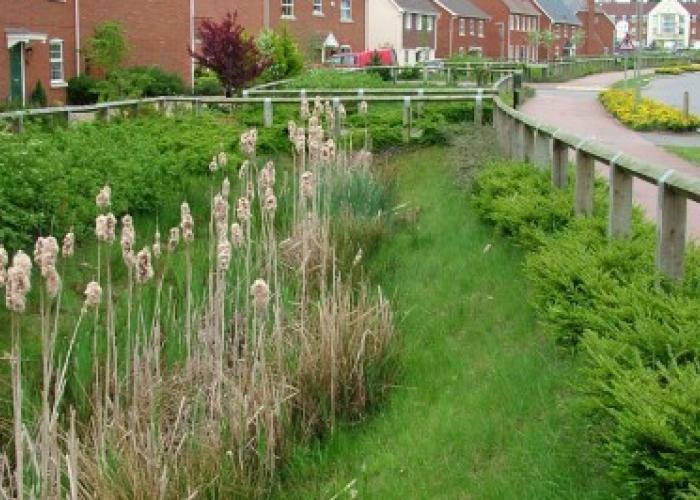
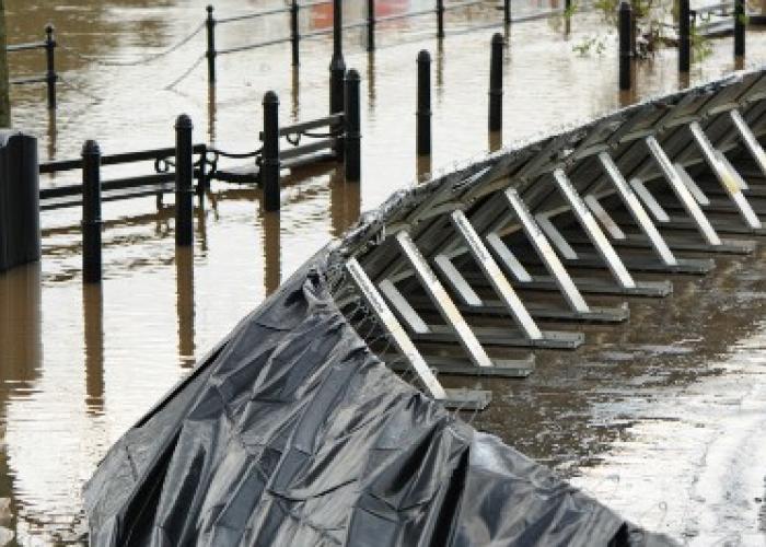
These tools are the results of our close work with local authorities and urban drainage designers, and are backed up by research.

This site provides a suite of tools to estimate:

  • pre-development greenfield site runoff rates
  • storage volumes required to meet site flow rate controls
  • suitability of different SuDS for treating site runoff
  • infiltration storage volumes

Most asked FAQs

The Institute of Hydrology carried out a number of studies on revising the runoff equations produced in the original Flood Studies Report (1975). IH124 was specifically produced to address the runoff from small catchments. (Institute of Hydrology, 1994).

Although shown to be slightly less accurate than more recent FEH based methods, it is still considered to be an acceptable approach for assessing greenfield runoff rates. The IH124 equation estimates Qbar with the following equation:

Qbarrural = 0.00108 x (0.01 x AREA)0.89 x SAAR1.17 x SPR2.17, m3/s

Where:

  • Qbarrural is the mean annual flood flow from a rural catchment (approximately 2.3 year return period).
  • AREA is the area of the catchment in ha.
  • SAAR is the standard average annual rainfall for the period 1941 to 1970 in mm (SAAR 41-70). SAAR 61-90, which was analysed for FEH for rainfall from 1961 - 1990, is virtually the same and can also be used.
  • SPR is Standard Percentage Runoff coefficient for the SOIL category.

Greenfield runoff is usually calculated as the peak rate of runoff for a specific return period due to rainfall falling on a given area of vegetated land. There are methods which predict only the peak rate of flow while others produce a runoff hydrograph.

Although greenfield runoff assessment is often a requirement for development sites, the approved formulae have all been derived from river catchment runoff data. The recent publication of ReFH2 and the plot scale method has been produced to try and make the predictions more relevant and accurate for site developments. 

The extrapolation of these formulae to site scales is justified on the basis of providing consistent approaches that can be universally applied, rather than giving an accurate assessment of the actual runoff rate from a site. No method would claim to provide an accurate assessment of site scale runoff. 

There are a number of factors which are not taken into account which can result in under-prediction of runoff rates from a site. These include:

  • The vegetated land characteristics (whether it is treed, grassland, farmed or otherwise landscaped) is not used;
  • The gradient of the site is not used;
  • Rainfall intensity is not used.

However it must be stressed that although the formulae claim to give a greenfield flow rate, and that it might be much less than it might be, this does not invalidate the runoff control requirements to protect the catchment downstream.

The Greenfield runoff rate which is to be used for assessing the requirements for limiting discharge flow rates and attenuation storage for a site should be calculated for the whole development area (paved and pervious surfaces - houses, gardens, roads, and other open space) that is within the area served by the drainage network whatever size of the site and type of drainage system. Significant green areas such as recreation parks, general public open space etc., which are not served by the drainage system and do not play a part in the runoff management for the site, and which can be assumed to have a runoff response which is similar to that prior to the development taking place, can be excluded from the greenfield analysis.

The exclusion of large green areas is important when using the UKSuDS.com storage assessment tool as it is only valid for use where the paved proportion of the site is larger than the pervious proportion (PIMP is greater than 50%). Ignoring for a moment the issue of the over-extrapolation and validity of the approach, calculating a greenfield discharge rate for the whole site including this type of public open space, will result in a higher Qbar value than if it is excluded. If this is subsequently applied to the (smaller) area served by the drainage system, then the storage volume estimation will be under-sized.

Where green spaces cannot be excluded because they have been landscaped to alter their runoff characteristics or to assist in managing the runoff from extreme events and this results in a PIMP value which is less than 50%, then the use of the UKSuDS tool is not valid and other more appropriate runoff modelling and management techniques should be used for assessing the storage requirements. If it is applied it should be recognised that the estimated storage volume is under-predicted. The reason why the tool should not be used is that no runoff is assumed to take place from pervious areas in the development and this is partially compensated by using 100% runoff from paved areas (in line with sewers for Adoption). 

The tool has been known to be used by applying only the paved area as being the site area. Applied in this way it is implying that all the vegetated areas of the site (gardens etc.) continue to discharge as they did prior to development. It will also result in small values of Qbar. This is a very conservative position, but is an approach that could be taken if it was thought to be appropriate for a particular situation. 

The Flood Estimation Handbook, produced by the Institute of Hydrology in 1999 effectively replaced Flood Studies Report in the UK. 

The following QMED equation is from a revision to the statistical approach in 2008 (Kjeldsen et al, 2008).

Qmed = 8.3062 x (0.01 x AREA)0.851 x 0.1536(1000 / SAAR) x FARL3.4451 x 0.0460(BFIHOST x BFIHOST), m3/s

where:

  • Qmed is the median annual flow rate; the 1:2 year event.
  • AREA is the area of the catchment in ha.
  • SAAR is the standard average annual rainfall for the period 1941 to 1970 in mm.
  • FARL is a reservoir attenuation function and is set at 1.0 and therefore has effectively been ignored. This means that areas with water bodies which attenuate the runoff will over-predict the greenfield runoff rate.
  • BFIHOST is the base flow index derived using the HOST classification.

Long Term Storage is the term given to the volume of temporary storage which needs to be provided for the additional volume of surface water runoff that is generated by the development that is greater than the volume of greenfield runoff. The greenfield runoff volume is calculated using the 1:100 year 6 hour event. This volume is the amount that can be discharged at the 1:100 year greenfield runoff rate.

The additional runoff volume should be discharged from the site at a flow rate less than 2l/s/ha for this event. As critical duration events for the design of the site storage system will be much longer than 6 hours, the Long Term Storage volume is not calculated using the 1:100 year 6 hour event, but needs to be assessed using the critical duration event.

Do you need help with planning permission?

We offer packages to assist you in meeting planning consent conditions.